Weather Today | It’s Not Just About an Umbrella. Here’s What Your Forecast Is Really Telling You.
Let’s be honest. The first thing most of us do in the morning, probably before our first cup of chai, is grab our phone and ask the digital overlords, “What’s the weather today ?” We glance at the little icon a sun, a cloud with a lightning bolt, maybe a few raindrops and make a split-second decision about our day. T-shirt or jacket? Auto or walk? But here’s a thought that’s been brewing in my mind lately, like a proper storm system over the Bay of Bengal: we’re only getting a tiny fraction of the story.
That 32°C and “Partly Cloudy” notification is the headline, not the article. It tells you what is happening, but it completely misses the why. And the why, my friend, is where the real magic is. It’s the difference between being a passive recipient of the weather and actually understanding the incredible, chaotic, and beautiful drama unfolding in the atmosphere above us. So, grab your coffee, let’s pull back the curtain on that simple forecast.
Beyond the App | Why Your Phone’s Forecast is Only Half the Story
Your smartphone is a marvel, no doubt. It pulls data from global forecasting models and gives you a neat, tidy prediction. But these models, as powerful as they are, paint with a very broad brush. They might predict a 60% chance of rain for your entire city. But what does that even mean?
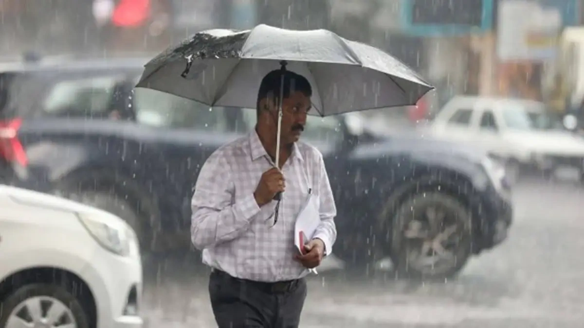
Here’s the thing: that percentage doesn’t mean it will rain for 60% of the day. Nor does it mean that 60% of your city will get wet. It’s a measure of confidence. It means that in 100 similar atmospheric situations, it rained in about 60 of them. It’s a probability game. This is why you can have a “60% chance of rain” and enjoy a perfectly dry day, leading you to curse the weatherman. The forecast wasn’t wrong; it was just speaking a language of probability that most of us aren’t taught to interpret.
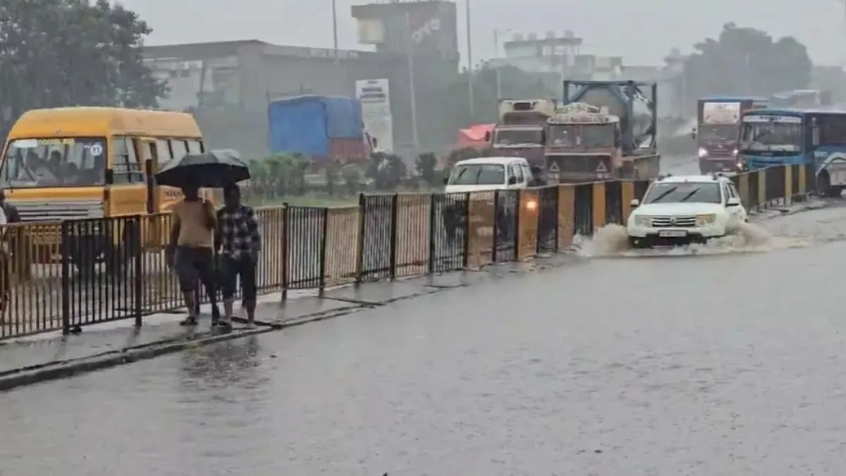
What the app rarely tells you is the character of the potential rain. Is it the result of a massive, organised monsoon system that will bring a day-long, steady drizzle? Or is it a “pop-up” thunderstorm, a highly localised and intense burst that will last 30 minutes and cause chaos on your commute? Answering that requires looking at the unseen forces at play.
The Unseen Forces | What’s Really Driving Today’s Weather?
Today’s weather isn’t random. It’s a direct consequence of massive, continental-scale systems interacting with each other. Think of it like a giant play with a few main characters. Depending on the season and your location in India, the lead actor changes.
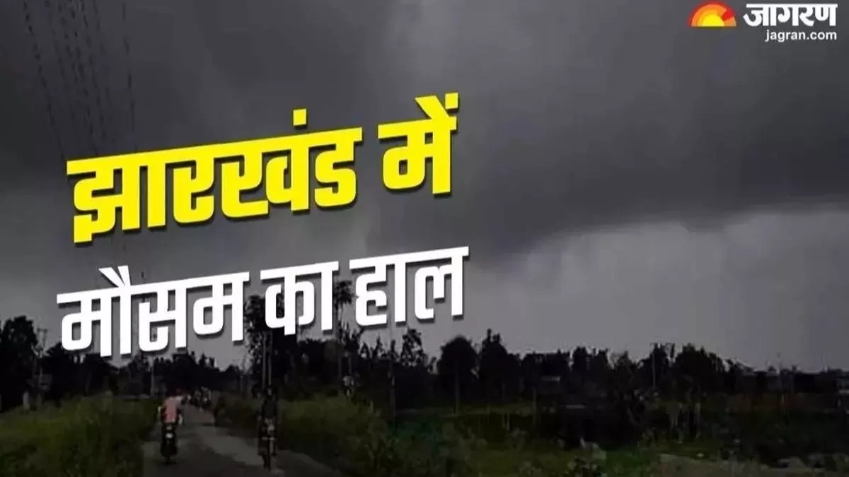
Right now, during the monsoon season, the main character is the Monsoon Trough . This is an elongated low-pressure area that stretches from Pakistan to the Bay of Bengal. You can think of it as the superhighway for rain clouds. When this trough is active and sits directly over central India, cities from Gujarat to West Bengal get widespread, persistent rain. When the trough shifts north towards the foothills of the Himalayas, much of the country experiences a “monsoon break” hot, dry, and humid days. So, if you’re wondering why it’s been dry for three days in a row in July, the answer isn’t “bad luck”; it’s likely the trough taking a little trip north.
Come winter, the main character in North India changes to the Western Disturbance . These are extra-tropical storms originating in the Mediterranean region. They travel across the Middle East and bring sudden winter rain to the plains and crucial snowfall to the Himalayas. This snowfall is literally life for North India it’s what melts and feeds our rivers like the Ganga and Yamuna through the summer. So, a cloudy, rainy day in January in Delhi isn’t just a gloomy day; it’s a deposit in our national water bank account.
Understanding these drivers whether it’s the monsoon, a Western Disturbance, or a developing cyclone is key to understanding the live weather report beyond the numbers. For truly authoritative information on these systems, I always keep a tab open for theIndia Meteorological Department (IMD). They are the official source, tracking these massive systems with a level of detail your phone app can only dream of.
Reading the Local Clues | How to Be Your Own Weather Detective
Once you know the big picture, you can become a fantastic forecaster for your own neighbourhood. I’ve found that paying attention to local weather conditions can often give you a better, more immediate sense of what’s about to happen than any app. Here’s how:
- Look Up! (The Clouds): Clouds tell a story. High, thin, wispy cirrus clouds (the ones that look like paintbrush strokes) are often the first sign of an approaching weather system, like a Western Disturbance. They mean a change is coming in the next 24-48 hours. On the other hand, the big, tall, angry-looking cumulonimbus clouds are the harbingers of thunderstorms, hail, and intense, short-lived rain. If you see one of those darkening your horizon, it’s time to get indoors.
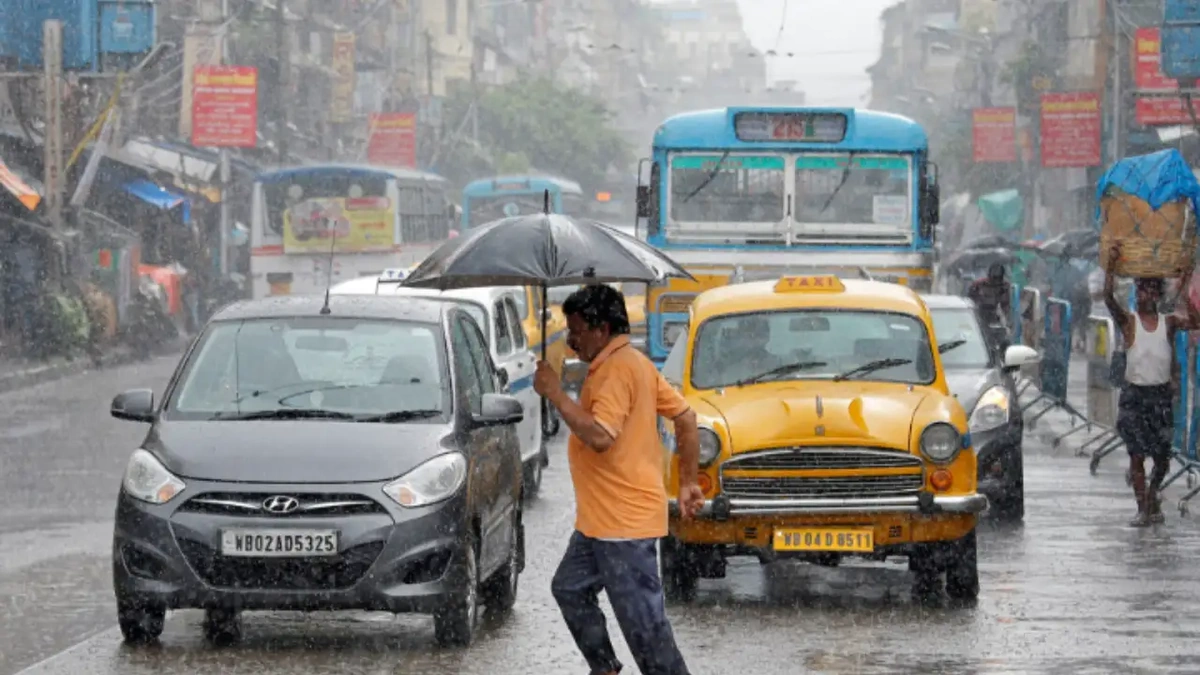
- Feel the Wind: Which direction is the wind coming from? In many coastal cities like Chennai or Mumbai, a sea breeze kicks in during the afternoon, bringing cooler, moister air. If the wind suddenly changes direction and picks up speed, it’s often a sign that a storm is imminent. You can check the details about Chennai weather to get better insights.
- Check the Air: Beyond temperature and humidity, the air quality index today is a vital part of the daily “weather.” Especially in cities like Delhi, Lucknow, or Patna during the post-monsoon and winter months. High AQI can affect your health more immediately than a slight drop in temperature. Knowing the AQI can help you decide whether to go for that morning run or maybe do some yoga indoors instead.
By combining the big-picture knowledge with these local observations, your understanding of the weather becomes three-dimensional. You’re no longer just reading a forecast; you’re living inside of it.
Frequently Asked Questions (FAQs)
Why is my phone’s weather app different from the IMD forecast?
Your phone likely uses a global model (like GFS or ECMWF) which is excellent but less specific. The IMD weather forecast incorporates its own regional models and, crucially, the observations of meteorologists on the ground. For India, the IMD is generally more nuanced and accurate for location-specific warnings.
What does a 40% “chance of rain” actually mean?
It’s about probability, not quantity. It means that on 10 out of 10 similar days in the past, it rained at some point in the forecast area. It does NOT mean it will rain for 40% of the day. It’s a measure of the forecaster’s confidence that rain will occur somewhere in your area.
How can I check the air quality index today?
You can use the official SAFAR (System of Air Quality and Weather Forecasting and Research) portal, the Central Pollution Control Board (CPCB) website, or various third-party apps like IQAir. Many weather apps are also now integrating real-time AQI data.
Is it going to rain in my specific colony or neighbourhood?
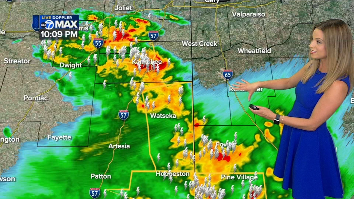
This is the hardest question in meteorology! Forecasting at such a “hyper-local” level is still the holy grail. Your best bet is to look at weather radar images (available on some apps and websites) to see the live movement of rain clouds approaching your specific area. When you need to know about weather for a specific region like Odisha, you can refer to dedicated pages that offer a detailed barisha mausama vibhaga report.
What exactly is a monsoon “break”?
A monsoon break is a period during the peak monsoon months (July-August) when the monsoon trough shifts north to the Himalayas. This leads to heavy rain in the mountains and northeastern states but causes a significant decrease in rainfall over most of the plains and central India, often leading to a rise in temperatures.
So, the next time you glance at your phone for the weather today , pause for a second. Look past the icon and the number. Think about the giant, invisible forces at work the journey of the monsoon winds, the arrival of a distant storm from the Mediterranean. See the story that the clouds and the wind are telling you. Because understanding the weather isn’t just practical; it’s a way of connecting with the vast, incredible world around us. And that’s a forecast that is always 100% accurate.